


Image is not final. The final design may undergo changes.
Navigation in degraded GNSS signal environments
The recent conflicts in Syria, Ukraine, and Gaza have demonstrated the critical impact of satellite navigation on military operations.
The majority of drones currently on the market rely on GPS receivers for navigation and positioning.
At Horizon CÆLIS, we have developed a fully visual navigation system that utilizes offline maps stored on the device itself, enabling navigation in the absence of any GNSS signal.
Artificial intelligence object recognition models enable the detection of terrain features and comparison with aerial and satellite maps.
This allows drones to navigate in conditions similar to those obtained with a traditional GPS receiver, with a positioning frequency that is fast enough for the task.
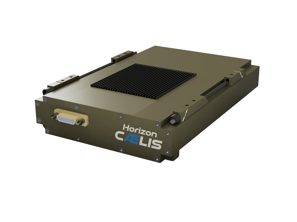
Features
Compatible with MAVLINK flight computers (Ethernet / serial)

Available in modular payload standard
- Size
- Update frecuente
- Weight
- Power